
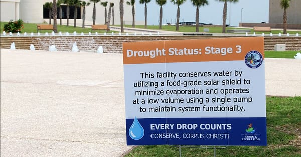
A stage 3 water notice is located in front of the Corpus Christi’s Watergardens in downtown Corpus Christi in May 2026. (Meagan Falcon/Texas 2036)
This is a preview of our Texas 2036 newsletter discussing the lessons learned from Corpus Christi’s water crisis. To receive this weekly look at our work, sign up here.
Coastal Bend Crisis: Lessons for Water Planning
Earlier this year, Corpus Christi made national headlines as the first major U.S. city projected to run out of water.
The unfolding crisis put more than the Coastal Bend’s water supply to the test. It also tested the state and regional plans designed to identify shortages early and give communities time to prepare.
Texas 2036 examined 25 years of those plans to answer a straightforward question: Did they provide sufficient warning that this crisis was coming during the 2020s? In short, they did not.
🚨 BREAKING NEWS: Nearly 80% of Texas voters want the state to prioritize water projects.
In a late August survey by Texas 2036, a supermajority said it was extremely or very important for state action to either ensure enough water for long-term economic growth or reduce communities’ risk for serious water shortages.
Read here for more details.
How the Coastal Bend Reached a Water Crisis
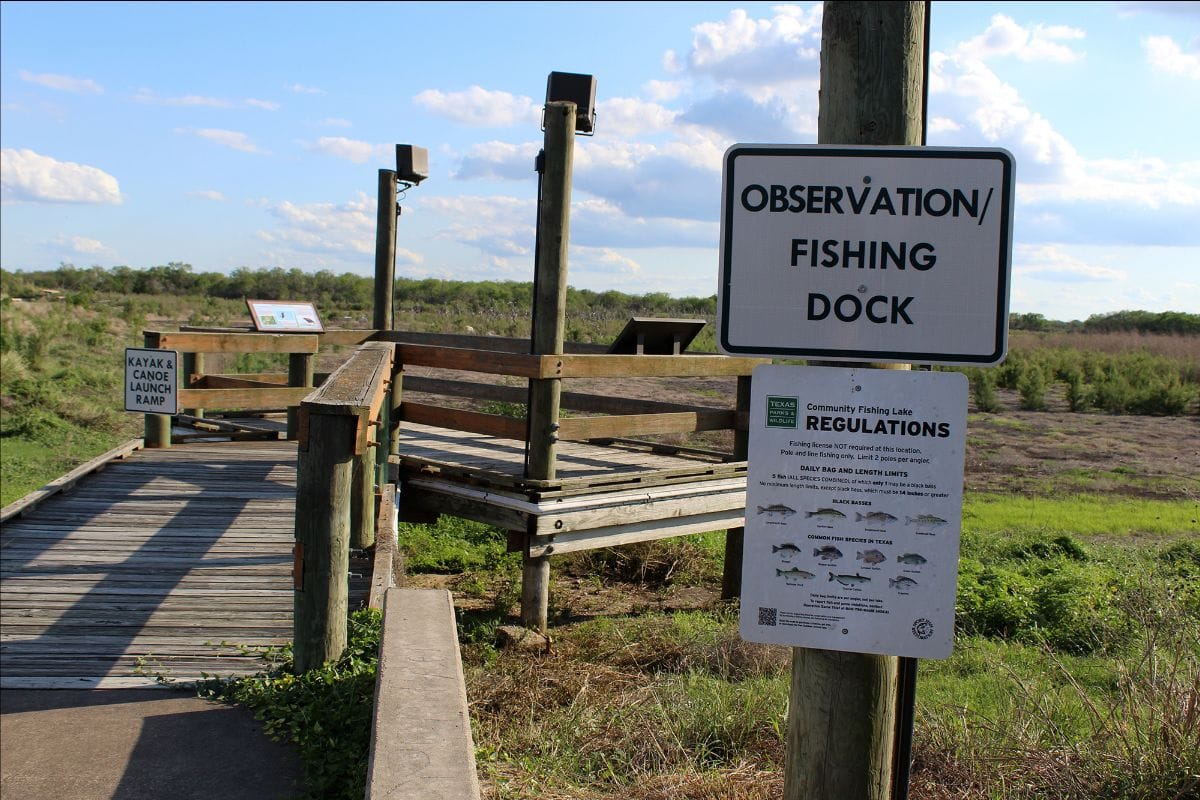
A fishing and observation dock sits above dry ground at Choke Canyon Reservoir in South Texas in May 2026, reflecting the reservoir’s sharply declining water levels. (Meagan Falcon/Texas 2036)
Nearly 75% of the Coastal Bend’s water supply comes from surface water, much of it stored in Choke Canyon Reservoir and Lake Corpus Christi. Prolonged drought, below-average rainfall and hotter temperatures reduced the inflows replenishing those reservoirs.
By the beginning of 2026, combined storage had fallen to just above 10%. By mid-April, it stood at only 7.7%, or 70,527 acre-feet, below the emergency reserve set aside for a worst-case drought.
The result: Local drought disaster proclamations, significant water-use restrictions and a credit downgrade for Corpus Christi.
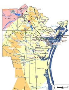
What is the Coastal Bend?
The Coastal Bend is one of Texas’ 16 water-planning regions, covering 11 counties along the Gulf Coast. In 2020, it was home to 575,933 people, 77% of whom lived in the Corpus Christi metropolitan area, according to the 2026 Coastal Bend Regional Water Plan.
Counties in the planning region: Aransas, Bee, Brooks, Duval, Jim Wells, Kenedy, Kleberg, Live Oak, McMullen, Nueces and San Patricio.
The Water Plans Told A Different Story
Long before reservoir levels fell toward crisis, state and regional plans presented a very different picture of the Coastal Bend’s water future.
Texas 2036 found across 25 years and five planning cycles, no state or regional water plan projected that Corpus Christi would face a shortage for its own municipal needs during the 2020s. The same was true for many neighboring cities at the center of the crisis.

A view of the Corpus Christi downtown seawall in May 2026. (Meagan Falcon/Texas 2036)
The Regional Warning Kept Changing
Three of the five planning cycles projected that the Coastal Bend — as a region — would have enough water to meet demand during the 2020s. The other two projected shortages. One cycle raised the alarm, the next reversed it and the final plan changed course again just before the crisis.
By the time the warning was strongest, there was little time to develop the large, drought-resilient supplies the region needed. Of the 50 water strategies recommended for the 2020s in that final pre-crisis cycle, only one — a brackish groundwater desalination plant in Alice — had been built by 2025.
Texas 2036 Went Back to the Water Plans

Boat docks stand above the exposed lakebed at Lake Corpus Christi in May 2026 amid the Coastal Bend’s prolonged drought. (Meagan Falcon/Texas 2036)
Our new report, The State Water Plan & The Coastal Bend Water Crisis, examines every state and regional water plan produced since Senate Bill 1 created Texas’ bottom-up water-planning process in 1997.
We reviewed what each planning cycle projected for the Coastal Bend, which water strategies it recommended and whether those strategies were implemented in time.
Our findings: The failure was not the fault of any single plan or planner. State and regional planners followed the rules and drought assumptions they were given. But the laws, data and assumptions behind the process did not provide a consistent warning that the region needed major drought-resilient supplies before the 2020s.
Watch: On Aug. 24, Texas 2036’s Jeremy B. Mazur testified before the House Natural Resources Committee in Weslaco on gaps in Texas’ water planning process exposed by the Coastal Bend crisis.

“Texas created the state and regional water planning process to give communities signals about future water needs and enough time to act. In the Coastal Bend, that signal was inconsistent.”
Jeremy B. Mazur
Director, Infrastructure and Natural Resources Policy
Why This Matters Now

Sources: 2002, 2007, 2012, 2017, 2022, and 2027 state water plans.
Texas is entering a new era of water investment. Lawmakers and voters have expanded the state’s tools for financing water infrastructure, including the recent creation of the Texas Water Fund. In 2025, voters approved up to $1 billion annually for the fund over the next 20 years.
The State Water Plan will help guide those investments. Strengthening the planning process can help ensure public dollars translate into completed projects, reliable new supplies needed for growth and greater drought resilience.
Did you know? The draft 2027 State Water Plan comes with an eyebrow-raising $174 billion price tag, making it the most expensive water plan in state history.
6 Ways to Strengthen the Planning Process

A view of Lake Corpus Christi in May 2026. The lake hovered at critically low drought levels, registering around 8.3% full in mid-April. (Meagan Falcon/Texas 2036)
The report recommends six actions for the Legislature and the Texas Water Development Board:
- Verify the data. Review water models and drought assumptions, and identify gaps before regional planning begins.
- Create an actionable blueprint. Classify projects by urgency, connect them to the communities they serve and establish clear commitments and milestones.
- Track implementation. Show how recommendations change between cycles and measure construction progress and water delivered or conserved.
- Stress-test for worse droughts. Evaluate how more severe conditions would affect supplies, shortages and project needs.
- Identify vulnerable communities. Flag communities that depend on a single source, shared provider or limited emergency connections, even when no shortage is projected.
- Notify communities at risk. Formally alert water providers and project sponsors, require a response and consider whether transfers or water markets could help.
The Coastal Bend crisis showed the cost of unclear warnings and delayed action. With Texas prepared to invest billions in water infrastructure, its plans must identify urgent risks and help carry solutions through to completion.
Strengthening Texas’ bottom-up planning model can help prevent another region from facing the same crisis.
What Would Make Texas’ Water Plans Stronger?
Texas’ water plans shape how communities prepare for growth, drought and future water needs. We’ve shared six opportunities to strengthen the process. Now we want to hear from you.